Navi Mumbai is a planned satellite city of Mumbai founded in 1971. Post India’s Independence in 1947, Mumbai saw tremendous growth in its population. Due to the increase in industrial and commercial operation, the city population kept growing manifold by the 70s. To overcome the rising population in Mumbai, the Government of Maharashtra came up with a plan to build a twin city called Navi Mumbai.
In March 1971, City and Industrial Development Corporation (CIDCO) was formed to develop and maintain the new planned city. CIDCO was the only authority responsible for the development and maintenance of the city for the first ten years.
CIDCO Planned 14 nodes in Navi Mumbai, divided into North Navi Mumbai and South Navi Mumbai. CIDCO also constructed railway stations and commercial areas as per planned nodes.
The seven nodes in the North part are the Airoli node, Ghansoli node, Kopar Khairane node, Vashi node, Sanpada node, Nerul node, and Belapur node. The seven nodes in the South part are the Kharghar node, Kamothe node, Kalamboli node, Pushpak Nagar node, Panvel node, Ulwe node, and Dronagiri node.
Click here to know more about Navi Mumbai Metro Line 1 Station list
About Project:
Navi Mumbai is known for its robust infrastructure, which offers a good public transportation system. Considering the growing population in Navi Mumbai, it was needed to strengthen the existing transportation system.
Delhi Metro Rail Corporation (DMRC) carried out the feasibility study for the Navi Mumbai Metro project.
DMRC prepared a master plan for Navi Mumbai Metro Rail Project. The Initial master plan by DMRC proposed six metro corridors that cover a total distance of 120 KMs.
However, In the revised plan based on DMRC recommendation, five metro corridors were finalized, covering a total distance of 106.4 kilometers. Out of these six metro corridors, the Uran-Ranjanpada-Nerul and Ranjanpada-Kharkopar-Seawoods, which were earlier considered as metro corridors, had been changed to suburban railway corridors.
Navi Mumbai Metro Lines Master Plan:
As part of the Master plan recommended by DMRC, below are the lines which were finalised for development for Navi Mumbai.
However, the construction took place only for Line 1 in 2011, divided into three phases. Currently, Phase 1 (Belapur – Pendhar) of Line 1 is operational. All other lines shown in the below master plan are still in the planning phase.
| # | Corridor | Length | Implementing Authority |
|---|---|---|---|
| 1 | Belapur-Taloje-Pendhar-Khandeshwar-NMIA | 23.4 km | CIDCO/MAHA METRO |
| 2 | Mankhurd-NMIA-Panvel | 32 km | MMRDA |
| 3 | Sewree-Kharkopar-NMIA (MTHL) | 22 km | MMRDA |
| 4 | Dighe-Turbhe-Belapur | 20 km | NMMC |
| 5 | Vashi-Ghansoli-Mahape | 9 km | NMMC |
| Total | 106.4 km | ||
Navi Mumbai Metro Line 1:
The total length of this metro line is 23.40 km running between Belapur and Khandeshwar. As per detailed master plan submitted by DMRC for Line 1 (Belapur-Taloje-Pendhar-Khandeshwar-NMIA), the corridor is planned to be developed in three phases.
On 29th April, 2010, received its official approval for the metro line. On 30th March, 2010, the Maharashtra government appointed CIDCO as the official implementing agency for Navi Mumbai Metro project. Former Chief Minister Prithviraj Chavan laid the foundation stone for the metro on 1st May, 2011.
Navi Mumbai Metro Line 1 – Phase 1
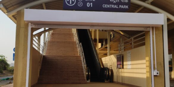
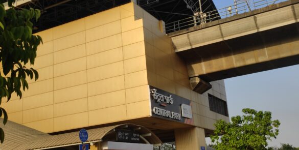
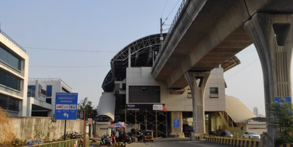
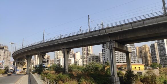
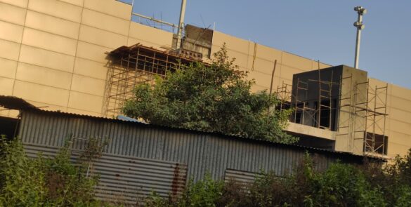
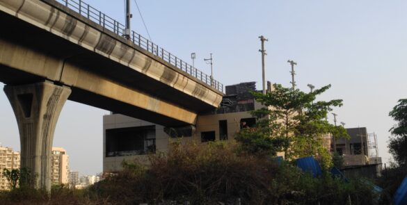
This metro corridor is 11.10 KM fully elevated and consists of 11 stations from Belapur to Pendhar.This Metro line will pass from Belapur in the north Navi Mumbai all the way to Pendhar in South Navi Mumbai.
The construction work on Navi Mumbai Metro’s Phase 1 started in November 2011.
The original deadline to complete the project was 2014. The consortium failed to complete the project by the end of 2014, and therefore CIDCO agreed to an extension till the end of 2016, which was also missed.
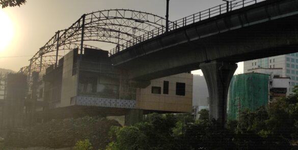
Only 60% of the work on the station was completed by January 2017. Considering a delay of two years in completing the metro project, CIDCO sent notice to the consortium for the termination of the contract on 11th January 2017. CIDCO floated a new tender for the remaining work on the stations.
In January 2021, CIDCO appointed MahaMetro to complete the Metro Project work. The project got momentum after MahaMetro took up the work.
After many revisions in its deadline, the project finally commenced operations on 17 November 2023.
Navi Mumbai Metro Line 1 - Quick Info
| Project/Metro Name | Navi Mumbai Metro Line 1 |
| Route/Stretch | Belapur – Pendhar |
| Official Line Color | No Colour Code |
| Status: | Operational |
| Length: | 11.10 KM |
| Total Stations: | 11 Stations |
| Depot: | Taloja |
| Construction Started: | Nov 2011 |
| Project Completed: | Nov 2023 |
| Total Cost: | ₹ 4,068 crore |
| Detailed Project Report (DPR): | |
| Operator: | Maha Metro |
| Estimated Ridership: | – |
Navi Mumbai Metro Line 1 - Phase 1 (Belapur - Pendhar) Stations
Below is the list of stations on Navi Mumbai Metro Line 1 – Phase 1 i.e., Belapur – Pendhar corridor. There are 11 stations on the line, which are fully Elevated (11.10 km).
| # | Station Name | Status | Type | Connections |
|---|---|---|---|---|
| 1 | Belapur Terminal | Operational | Elevated | – |
| 2 | RBI Colony | Operational | Elevated | – |
| 3 | Belpada | Operational | Elevated | – |
| 4 | Utsav Chowk | Operational | Elevated | – |
| 5 | Kendriya Vihar | Operational | Elevated | – |
| 6 | Kharghar Village | Operational | Elevated | – |
| 7 | Central Park | Operational | Elevated | – |
| 8 | Pethpada | Operational | Elevated | – |
| 9 | Amandoot | Operational | Elevated | – |
| 10 | Pethali – Taloja | Operational | Elevated | – |
| 11 | Pendhar | Operational | Elevated | – |


